Live life as if you were setting out on a mountain hike: look up at the summit, be mindful of everything in each moment. What matters is the journey itself and who you share it with; the summit will give you the satisfaction of having reached your goal, though the real reward is the experience itself.
Under a vivid sky that blends into the mountains silhouetted against the endless horizon, the words of the writer Fernando Beltrán give meaning to the desire to drive through the fields of the plateau until one is almost within reach of the Cantabrian mountain pastures. A route centred on the towpaths of the Canal de Castilla, which merge and intersect with ancient pilgrimage routes, leading you to immerse yourself in the purest essence of Castile.
The story behind this route speaks to us of the age-old drive for progress, highlighting cultural and natural heritage that is truly authentic.
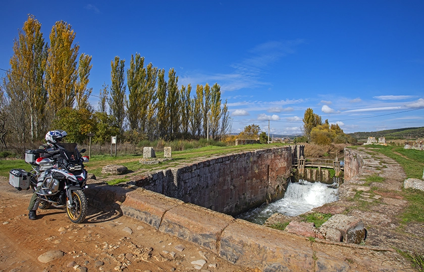
Beyond the familiar scene featuring cyclists, hikers and pilgrims, the idea of exploring this cultural route by motorbike had been on my mind for some time, as I was drawn to the notion of rediscovering a landscape where stone and water break the apparent monotony of the plain with their evocative sounds, inviting one to dream of times gone by.
The dream of the enlightenment
“I am aware that making rivers navigable and building roads requires many years and vast sums of money, but, Sire, what is not begun will never be finished; and if the great Louis XIV laid down rules and regulations which he followed and which continue to be followed with such success, why should they not be adopted and put into practice in Spain, given that Your Majesty is its king?” On this basis, and given the reality of a backward Castile in clear economic decline, the Marquis of Ensenada persuaded King Ferdinand VII to undertake one of the most significant hydraulic engineering projects in the history of Spain: the Canal de Castilla.
Castile dreamed of controlling its waterways through a network of canals, which were widespread in Europe, but here they would have to wait more than two hundred years. The aim of this project was to provide the region with a network of inland waterways that would enable grain to be exported to the ports on the Cantabrian Sea.
Under the supervision of military engineer Antonio de Ulloa, work began on 16 July 1753 in the town of Calahorra de Ribas, in the province of Palencia; however, numerous interruptions caused by financial difficulties and disagreements between engineers and politicians eventually brought the work to a standstill in 1757. Work resumed two years later at Alar del Rey; in 1791, the Canal de Castilla finally reached Calahorra, marking the start of commercial navigation, and once the Canal del Norte had been completed and the existing section of the Canal de Campos had been upgraded, a stretch of around 100 kilometres between Sahagún el Real and Alar del Rey was opened.
With the completion of the three branches in 1849, the Canal de Castilla formed a complete loop, spanning 207 kilometres of navigable waterway. Between 1850 and 1860, it handled the highest volume of commercial traffic in its history, with more than four hundred barges, but this was only a brief period of prosperity. In 1860, its decline began with the emergence of its fiercest competitor: the railway.
Regarded as the crowning achievement of the Enlightenment, it featured forty-nine locks, sixty-six bridges, four aqueducts, three dams and four docks, as well as jetties, anchorages, shipyards and even a prison. An economic infrastructure that was complemented by thirteen flour mills, five mills, two hydroelectric power stations, a mechanical sawmill, an iron foundry and a yarn and textile factory.
What were once functional structures are now major tourist attractions. Charming places, emblematic of a Spain seeking to modernise, a history etched in stone that helps us understand the circumstances that led those men, the Enlightened Ones, to build this remarkable work.
A path against the tide
Just like a natural river, the waters of the Canal de Castilla flow from north to south, but on this occasion I decide to ride my motorbike against the current, using the two jetties where the canal ends as my starting points.
Although it is not the largest of those built along the Canal de Castilla, the one in Valladolid comprises a significant architectural complex that bears witness to its once-thriving activity. Warehouses, dwellings, workshops, a smithy, coach houses, a sluice gate, a drainage channel, a dredging crane, a factory and other buildings all attest to its commercial importance.
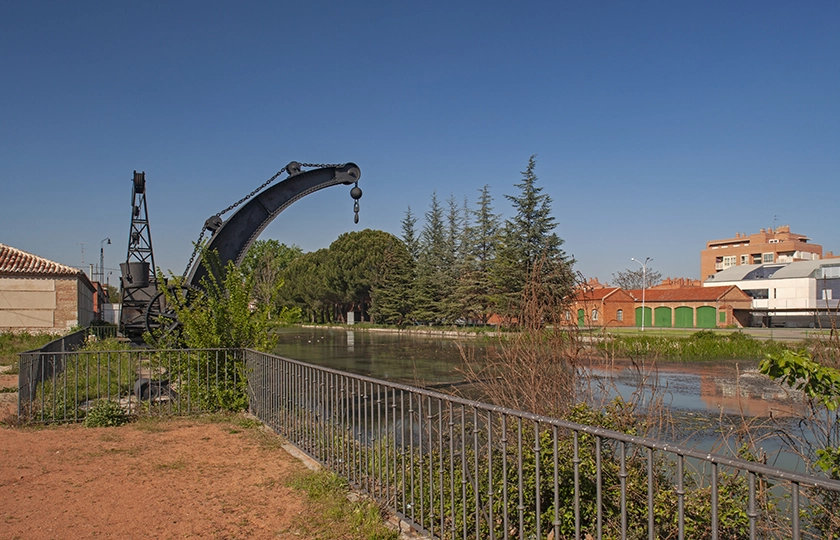
This is where the Southern Branch, coming from the city of Palencia, came to an end. As it winds its way through riverside woods, farmland and vineyards, I come across bridges, eighteen locks, aqueducts and towns as fascinating as Cigales, both for its traditional architecture centred around the wineries and for being the site of King Pedro I’s reconciliation with his illegitimate brothers Enrique and Tello, as well as the birthplace in 1549 of the woman who would become Philip II’s fourth wife, Anna of Austria.
From here, it’s worth taking a short detour to admire the magnificent castle at Trigueros del Valle, also known as the Enchanted Castle, which offers an immersive visitor experience.
I continue northwards to the point where the Carrión and Pisuerga rivers meet. Dueñas, designated a Historic Site due to its rich heritage and history, is the first town in the province of Palencia, offering a cultural foretaste of what lies ahead on the route.
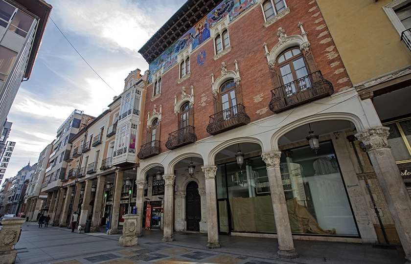
Following the course of the canal, with its many vestiges of the past that refuse to fade away, the stream of water leads me into the tranquil Palencia. It is well worth stopping off at San Antolín Cathedral to better understand the meaning behind the nickname ‘The Unknown Beauty’, before strolling through its rich historic centre. Its many architectural examples span every style, including the Modernist architecture that adorns the arcaded Calle Mayor and many other corners, placing Palencia on a par with other major European cities.
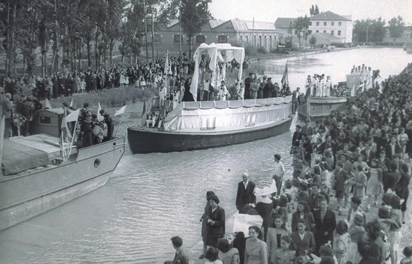
As they flow through the city, the waters of the Canal de Castilla take a breather in the calm of its dock, designed as an extension of the waterway to accommodate logistics and industrial activities. On one side, in what were once grain warehouses, stands the Water Museum, which offers an immersive, multi-sensory experience designed to provide a deeper understanding of the cultural and natural values of this unique feat of engineering.
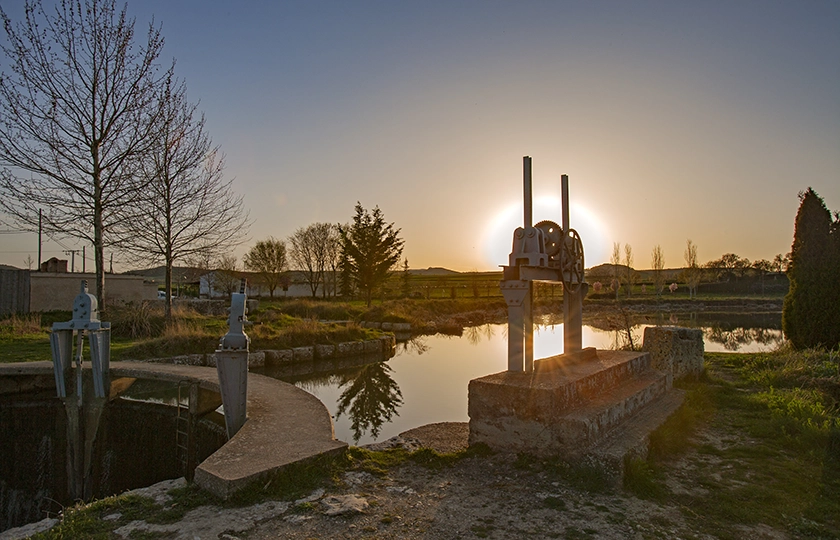
The GS’s engine roars to life once more and, along a pleasant road between the River Carrión and the Canal de Castilla, filled with the gentle scent of the riverbank, I arrive in Grijota. On the outskirts, a complex of locks comprising locks 28 and 29 acts as an amplifier for the wild murmur of the water as it navigates the various changes in level.
A few kilometres further on, I reach one of the Canal’s most iconic spots. The area known as El Serrón is significant not only for its triple lock and the remains of buildings—including warehouses, workers’ cottages and the lock-keeper’s house—that bear witness to the site’s former importance as a flour mill, but also because the waterway splits here. Up to this point, I have been travelling along the Southern Branch, but the Campos Branch branches off to my left.
Here I take a detour to head straight for Medina de Rioseco, the terminus and landmark of the Campos Branch Line.
The City of Admirals, as the town of Rioseco is also known for having been the seat of the admiralty during the 15th and 14th centuries, is a Historic Site due to its many cultural and architectural treasures, both secular and religious. But on this occasion I am going to focus on its connection to the Canal, without forgetting that this is where the Madrid route of the Way of St James and the Cañada Real Leonesa Occidental converge, with all that this implies ethnographically.
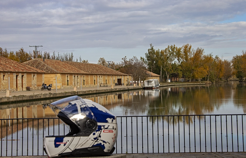
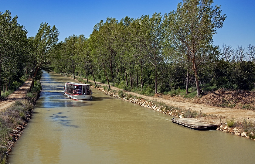
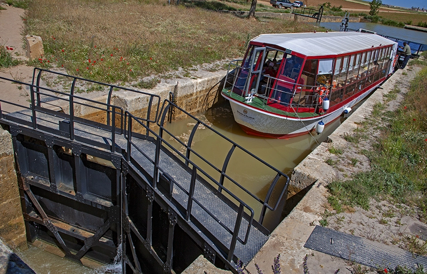
Medina de Rioseco boasts the largest dock on the Canal de Castilla, with colossal dimensions for an artificial waterway in a steppe landscape. It is flanked by warehouses, stables, houses and the old San Antonio flour mill – buildings that have stood the test of time. Specifically, warehouse number two is now the Passenger Reception Centre, where you can also buy tickets for the boat; next to it, the Antonio Ulloa sets sail until it reaches the seventh lock at Tamariz de Campos, allowing you to admire the manoeuvre of negotiating the difference in water level before beginning the return journey.
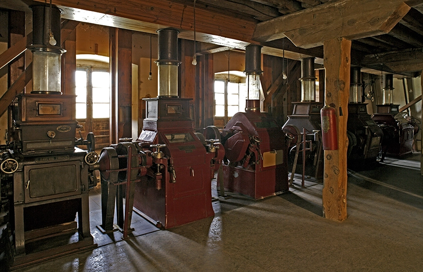
On the opposite side of the dock stands the San Antonio flour mill, alongside the lock keeper’s house. This enormous 19th-century building, constructed from ashlar stone, brick and mortar, rivals the dock itself in grandeur. Its interior is a time capsule, with the facilities and machinery preserved in perfect condition, allowing visitors to see how the milling process was carried out.
Mile by mile, the Canal de Castilla winds its way through the Castilian countryside, pointing the way to the horizon with an endless row of trees that shade the towpaths. These did not exist in the past, as these paths were used by teams of horses to pull the barges along the waterway. Today they are a constant feature of the route, as are the dovecotes that break up the steppe, enriching the ethnographic and cultural heritage, or the enormous churches that raise their bell towers above the plain like lighthouses in a sea of farmland. The latter is particularly curious, as the vast size of the churches contrasts with the scale of the surrounding towns; equally surprising is the large number of houses bearing coats of arms and small palaces scattered even throughout the smallest villages. In both cases, these were nothing more than symbols of power and rivalry between the Church and the nobility, serving to mark their presence and assert control over their domains in a vassal land.
I come across many architectural landmarks along the canal: locks, aqueducts, bridges and houses; but it is in the villages I pass through that I discover other interesting remains which help me to understand the area better.
For centuries, Castile was the kingdom’s breadbasket, so it is hardly surprising that small towns such as Capillas, among others, still have an old bread storehouse, the remains of a defensive wall or a hospital attached to the church.
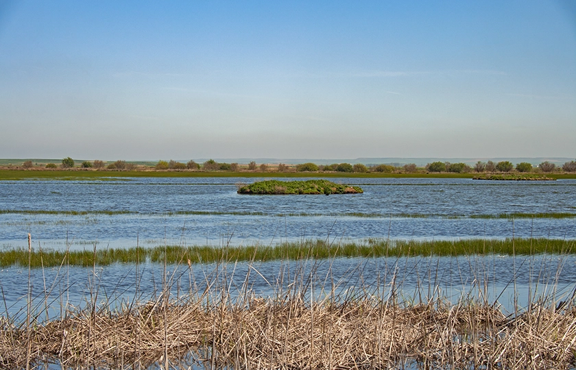
The more kilometres I clock up on the motorbike odometer, the more details I discover—details that stand in stark contrast to the seemingly unchanging landscape. Thus, Fuentes de Nava, as well as being a Historic Site of significant architectural and cultural value—boasting two magnificent churches and houses bearing coats of arms—is an area of great ecological importance thanks to the Laguna de la Nava, or ‘Mar de Campos’. Situated within the “La Nava y Campos de Palencia” Natural Area, it is like a mirror in the heart of Tierra de Campos: a 420-hectare artificial lake restored in the 1990s; a refuge for such iconic birds as the great bustard and the greylag goose, amongst many others, and the main breeding site in Castile and León for the black-headed gull and the white-winged tern.
I continue to follow the Ramal de Campos trail, surprised by the number of wetlands and streams that criss-cross the landscape, which dispels any preconceived notions one might have of the Castilian steppe.
We wind our way through the farmland along local paths and roads, trying to avoid the towpaths, as access is prohibited on certain sections unless it is for agricultural work or maintenance of the canal itself. This restriction does not prevent access to sites of great significance within the context of this great work of the Enlightenment. Such is the case with Sahagún el Real, which came into being in the wake of the canal’s construction. This spot bears witness to the importance it held in its day. The King’s houses, warehouses, inn, tavern and toll house have stood the test of time, accompanied by a chapel dedicated to Saint Facundo.
Aqueducts such as those at Santa María and Santo Cilde mark the route like landmarks that refuse to fade from view until one reaches Becerril de Campos. Designated a Site of Cultural Interest in the Historic Site category, it is another clear example of a Castilian village with a significant heritage and cultural identity, such as the Campos del Renacimiento regional museum or works by Pedro Berruguete, Juan de Juni and Francisco Giralde, set against an architectural backdrop spanning many centuries of history.
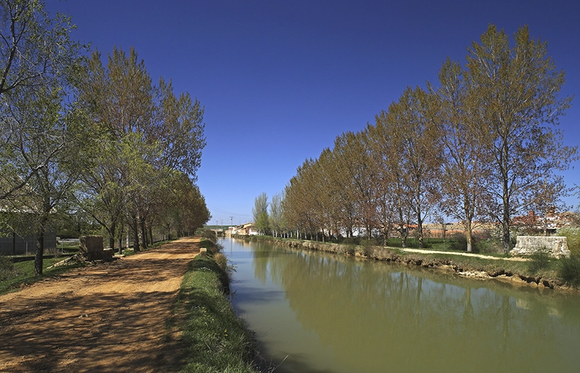
We are nearing the end of this section as we head towards the Canal’s source, but first, the town of Villaumbrales has a surprise in store. Next to the beautiful bridge dating from 1754 stands the Casa del Rey, one of the most iconic buildings, constructed in 1759 as part of the shipyard that served the canal’s operations. Inside, following a major refurbishment that includes new lighting for the bridge, it houses the Canal Museum, an exhibition space that is more educational, accessible and sustainable, aiming to foster a closer connection with and a better understanding of the significance of the Canal de Castilla and its potential as a driver of cross-sectoral economic growth through tourism and culture.
In a few minutes I reach the architectural complex of El Serrón, an iconic site renowned for its industrial heritage linked to the grain trade, situated on the banks of the Canal, where the Campos Branch and the Southern Branch converge, joined by the Lebaniego Route as it heads towards the Cantabrian monastery of Santo Toribio de Liébana.
In search of the source of the Canal
Today, the Canal de Castilla is a first-class tourist and cultural attraction. Designated a Site of Cultural Interest and a Smart Tourist Destination, its course offers unique and beautiful spots that can be navigated, architectural ensembles that masterfully overcome the challenges posed by the terrain, and iconic meeting points for pilgrims driven by their faith.
From here on, there is just one canal, whose waters flow in the opposite direction to mine, as I search for its source—the starting point of an intellectual dream that could have changed the course of Spanish history. That is why its legacy must not be consigned to collective oblivion.
Further upstream, I come across the Valdemudos bridge, the first to be built and the only one designed by Lemaur, the Canal’s first chief engineer; it also serves as a crossing point for the transhumant herds that follow the Cañada Real Leonesa towards the Cantabrian Mountains.
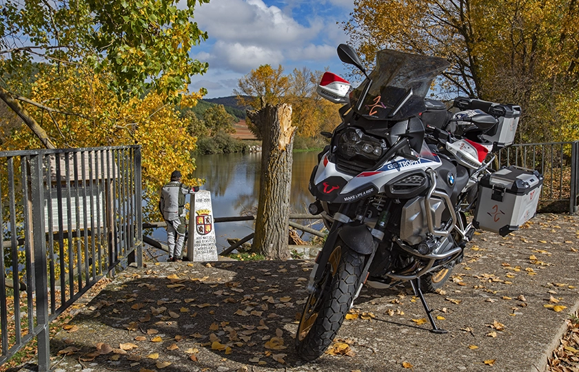
Surrounded by the characteristic groves of trees that line the riverbank, I arrived in Calahorra de Ribas. It was here that the foundation stone was laid in 1753, as attested by the commemorative monolith that stands on one side of the lock bridge. Watching from its parapet the spectacle of the hydraulic system formed by the three consecutive locks bridging the difference in ground level is a sensory experience that is impossible to forget. In this enclave, where the waters of the Canal also meet those of the River Carrión, a cloth fulling mill—always operated at low water levels to prevent the discharged impurities from contaminating other industries—and two flour mills once shared the space. The operation of these structures encouraged the settlement of the local population, leading to the construction of dwellings, a stable, the lock keeper’s house, and even an inn; buildings that have now disappeared or are in a very poor state of repair.
On the same canal, a bell gable—the only remaining trace—reminds us that there was once a monastery here dedicated to Our Lady of Consolation.
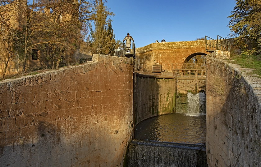
Continuing northwards, both banks are lined with a succession of structures linked to canal operations, such as the weirs used to regulate the flow and the bridges, as well as wetlands where flora and fauna form ecosystems of great value, such as the Laguna de la Toja and the Charca de Bezana, amongst others.
Sometimes, the horizon is dotted with small villages steeped in legends and stories, tales of heroism and acts of bravery, whose unassuming appearance conceals true architectural gems. Such is the case with the church of San Cornelio and San Cipriano in San Cebrián de Campos, which has been designated a Historic-Artistic Monument.
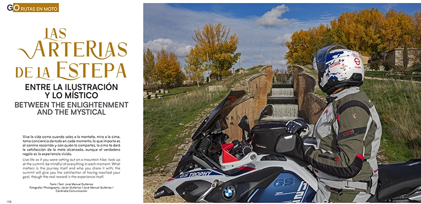
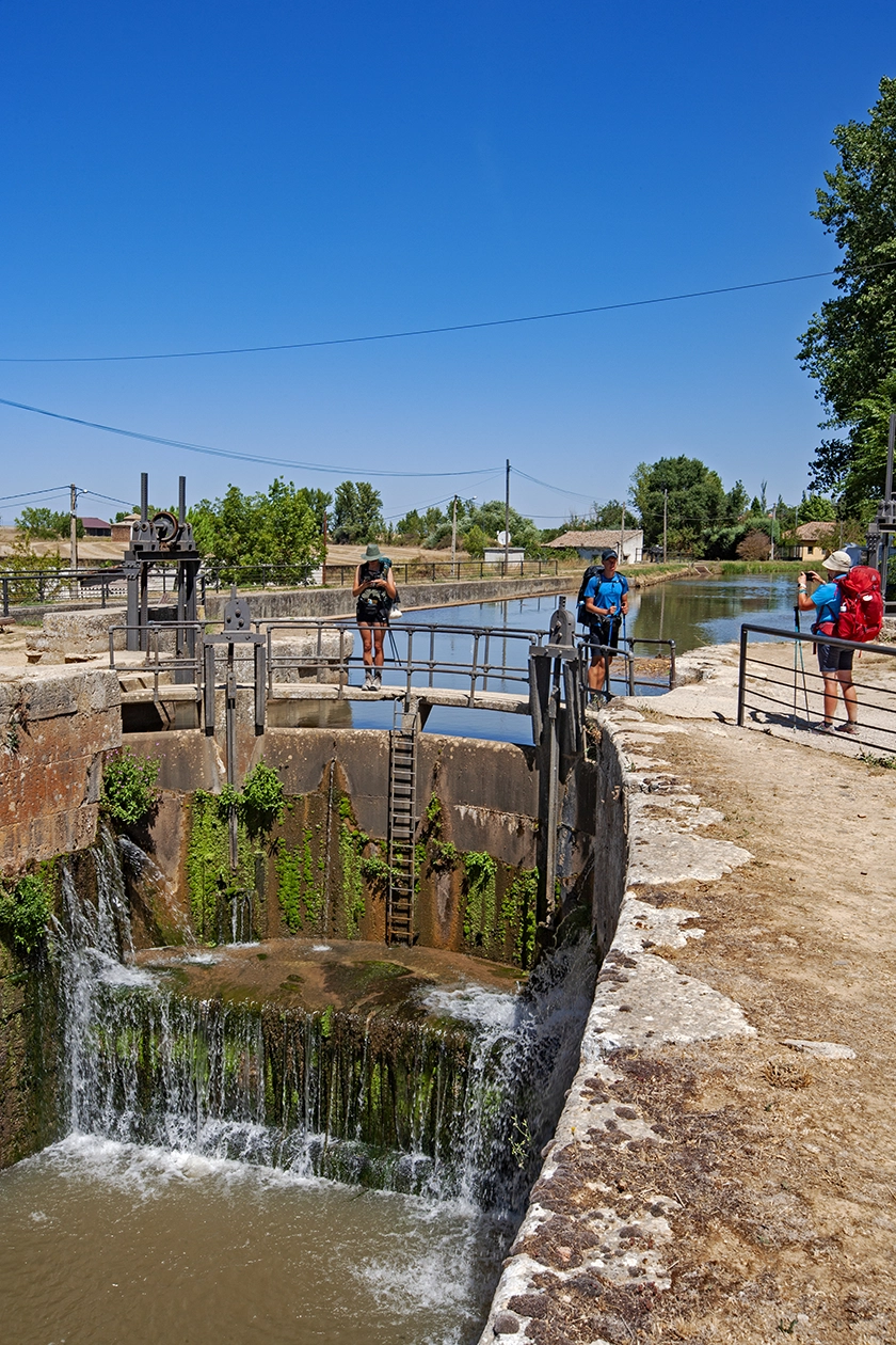
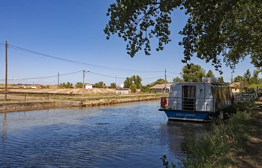
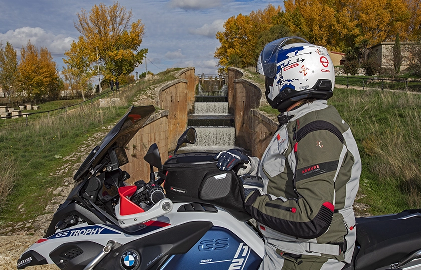
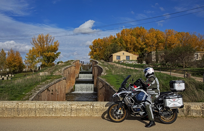
Set against a landscape that remains unchanged in form yet rich in hues, Frómista makes its presence felt. On the outskirts of the village lies one of the Canal’s most important sites, consisting of a set of four locks that bridge a fourteen-metre drop, creating a beautiful cascade. On one side stands the lock keeper’s house, now converted into a tourist information point, alongside the lock bridge and a hydroelectric power station. At the upper reaches, the canal and the Way of St James converge, right next to the jetty from which the tourist boat Juan de Homar sets sail on a four-kilometre journey to the landing stage at Boadilla del Camino.
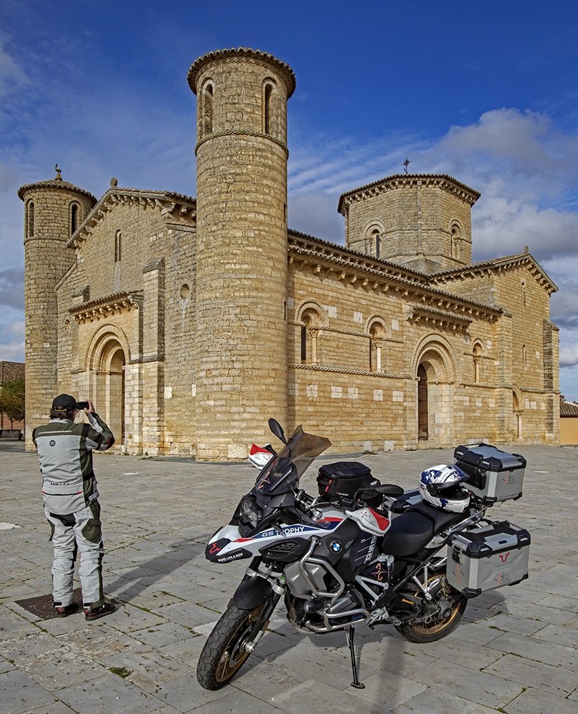
Frómista is one of the places well worth stopping at. Its pilgrimage atmosphere and rich heritage invite you to linger, particularly to admire the church of San Martín, one of the finest examples of Palencia’s Romanesque architecture. It dates from the late 11th to early 12th centuries and has been designated a Site of Cultural Interest. Its design is modelled on Lombard or Byzantine churches, with the richness of the capitals and decoration being particularly striking.
But the heritage catalogue is much more extensive. The influence of the Way of St James as a route bringing all manner of cultural expressions from across Europe is evident both inside and outside many other Gothic and Renaissance buildings…
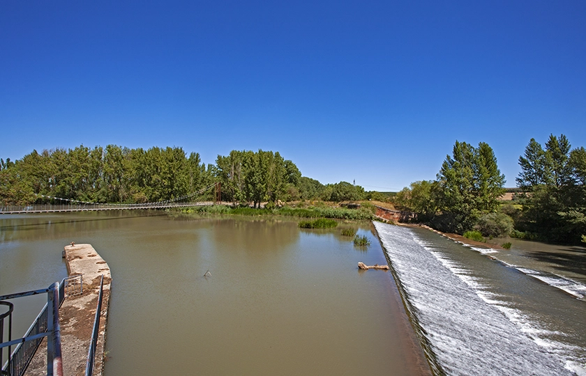
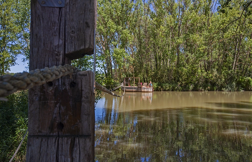
I return to the banks of the Canal in search of another of its major landmarks. At Herrera de Pisuerga, the River Pisuerga and the Canal de Castilla converge, so it was necessary to build a weir to slow down the excess flow of the former, aided by the Rey or San Andrés dam. Today, this is the site of the Canal de Castilla Interpretation Centre and the jetty from which the Marqués de la Ensenada boat sets sail on a six-and-a-half-kilometre journey. In this backwater, the rope hut was built an ingenious solution to prevent the barges from being swept away by the river current, using a rope that spanned the two banks. Today, it has been restored as a tourist attraction for the most intrepid visitors. Legio III Macedonica marks the origins of the permanent settlement, in the early years of our era, of what we now know as Herrera de Pisuerga. Many centuries have passed since then, and each has left a clear mark on its religious architecture, on its typical Castilian Plaza Mayor with its arcades, flanked by Modernist buildings, and on all the religious imagery housed in the churches.
It is with a certain sense of sadness that I approach the final stretch of this chapter in Spain’s history. Alar del Rey is very close by, and that is where the works came to an end, right at the point where a monolith marks the Canal’s kilometre zero.
Founded in 1657 by order of King Philip IV, it was this magnificent project that made Alar del Rey an important commercial hub. At its dock, grain and flour from the southern fields arrived on barges, where they were unloaded to continue their journey by land to the ports of the Cantabrian Sea. Conversely, coal from the mountains and manufactured goods from the north were first sent to Alar, where they were loaded onto ships for subsequent distribution throughout Castile.
The dock, which still retains a few mooring rings, the lock, the warehouses and the odd dilapidated mill bear witness to the importance this town held within the context of the Canal de Castilla. The arrival of the railway, with the construction of the Santander–Alar del Rey line, boosted commercial activity by enabling fast and efficient transport. As a result of this development, several biscuit-making industries flourished in the late 19th and early 20th centuries. However, the history of Alar is inextricably linked to that of the Canal, and its decline had a serious impact on the town’s economy and population.
The widespread construction of railways in the 19th century dealt a fatal blow to the Canal de Castilla. Faster transport, combined with greater cost-effectiveness and increased cargo capacity, dealt a deathblow to river transport, which barely managed to remain in operation until 1959 when, following the retirement of the last boatman, all activity ceased. At that point, it became part of the irrigation system for the Duero basin, alongside the tourism that has been developing over recent decades.
https://www.diputaciondepalencia.es/sitio/turismo/rutas-culturales/rutas-canal-castilla